The history of Iwaizumi Town is ascertained by the fact that stone tools and pottery have been unearthed throughout the town, including pottery from the early Jomon period. We know that there were already residents living in this area as far back as 8,000 years ago, during prehistoric times.
In addition, during the Edo period, there were numerous gold mines, copper mines, and iron mines, indicating that mining operations were widely carried out in this area. Historical sites have also been discovered.
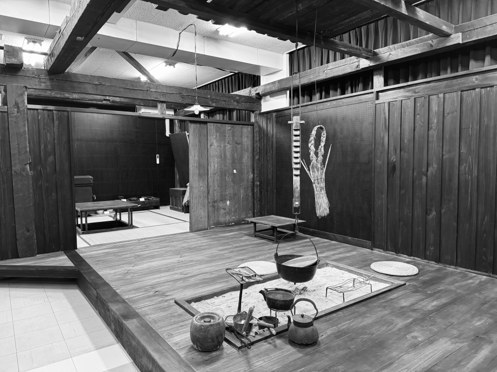
History and Folklore Museum in Kogawa area.
At that time, major industries such as forestry, cattle and horse breeding, river fishing, sericulture, dyeing, and brewing were flourishing. The Omoto Road and Noda Road were the major trade routes in the area.
In the Meiji era, 19 villages merged with the implementation of the town and village system in 1889, resulting in a reduction of villages to six: Kogawa Village, Ogawa Village, Iwaizumi Village, Ugei Village, Akka Village, and Omoto Village. Later, on August 1, 1922, Iwaizumi Village was elevated to the status of a town. Under the Town and Village Merger Promotion Law on September 30, 1956, Iwaizumi Town merged with Ogawa Village, Omoto Village, Akka Village, and Ugei Village to form a single town. The following year, on April 1, 1957, Kogawa Village was incorporated into the new town under the New Municipal Construction Promotion Law, giving birth to the current Iwaizumi Town.
In 1960, shortly after the merger, the population of Iwaizumi Town was approximately 27,813 people, with 5,371 households, and the average number of people per household was 5.18, making it the highest population density per household at that time. Following Japan’s economic growth, many young people left the town to pursue higher education or seek employment, leading to a decline in both the population and the number of households. According to the Basic Resident Register, as of April 1, 2023, the population of Iwaizumi Town was 8,198 people, with 4,177 households, and an average of 1.96 people per household. Compared to the peak, the population has decreased by 29.5%, the number of households has decreased by 77.8%, and the average number of people per household has decreased by 37.8%.
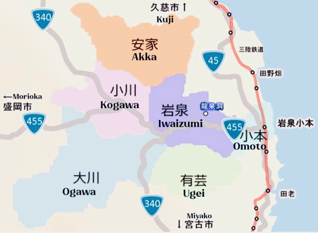
Iwaizumi Town is located in the eastern part of the Kitakami Highlands, and also in the northern part of Shimoheigun. The eastern part of the town faces the Pacific Ocean along the Sanriku Coast, and it shares borders with Tanohata Village, Miyako City. To the west, it borders Kuzumaki Town and Morioka City, while to the north, it borders Fudai Village, Noda Village, and Kuji City. The town has a total area of approximately 992.36 square kilometers, measuring 51 kilometers from east to west and 41 kilometers from north to south. This makes Iwaizumi Town the largest town in Honshu.
According to the land area summary record in the year of 2023, the total area of rice fields is approximately 439.62 hectares, while the area of agricultural fields is around 1,577.07 hectares. Additionally, the land area is comprised of residential areas covering 307.68 hectares, forests spanning 78,145.88 hectares, and other areas totaling 18,765.75 hectares.


Leave a comment